 |
 |
Vector
map in jpg mode,
layers 1, 2, 3, 4, 5 and 6
|
Vector
map in jpg mode,
layers 1, 4, 5, 7 and 9
|

|

|
Poster map realized with
the vector map 1800
|
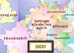
Fantasy map drawn
from the vector map 1300
|
|
|
READY TO BUY? |
Price: € 55
to € 120 + VAT
direct download
|

|
add € 20.00
for CD-ROM delivery
|
Direct download
After payment by credit card, you will
receive download links with login and
password for both Corel Draw 10 and Adobe Illustrator 8
format of the choosen Euratlas Historical Vector Map Maps and for the complete edition of the Periodical Historical
Atlas of Europe Basic Bilingual version 1.2. These links will be valid for 24 hours. Your license will be sent by post. |
|


