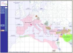
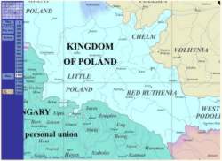
The Periodical Historical Atlas of Europe Basic version 1.2 contains:
- 21 historical maps depicting the political situation of Europe and
Mediterranean basin from AD 1 to 2000.
-
Each map covers the area comprised between 15º West and 50º East. South to North, the area extends from 20º
to 60º.
-
1 map per century from year 1 to year 2000, at the exact first
day of each
centennial year.
-
Easy spatiotemporal navigation on each html browser.
-
600% maximal enlargement factor.
-
The
atlas is readable in all operating systems (Windows, Mac, Linux etc.)
-
A web-browser (Netscape, MS-Explorer, Mozilla etc.) is required but
an Internet connection is not necessary.
-
It is also possible to view the pictures with an imaging software (
Photoshop etc.)
|
Direct download
Click on the purchase link here above. Pay by credit card and you will
receive immediately a download link with login and password.
You will have 24 hours to download the atlas as a .zip. Then unzip it
with Windows or Winzip. If you select physical shipping, you will
receive, in addition, a CD-ROM copy of the product.
Get Winzip
Recommended by
|

|
|


