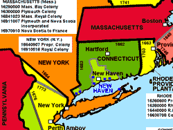
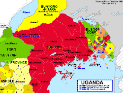
| HISATLAS, Historical and Political Maps of the Modern Age: screenshots |
| Inside |
|
| screenshots |
|
| Terms |
|
|
|
|
|
|
|
| Customer Care |
|
|||||||||||||||||||||
| HISATLAS contains - 256 historical maps, each map in .jpg and .gif format. - Each .gif full map sizes between 4090 x 1674 x 72 dpi and 512 x 704 dpi. - The HISATLAS is organized in 18 sections:
|
Direct download Click on the purchase link here above. Pay by credit card and you will receive immediately a download link with login and password. You will have 24 hours to download the atlas as a .zip file. Then unzip it with Windows or Winzip. If you select physical shipping, you will receive, in addition, a CD-ROM copy of the product. Get Winzip |
||||||||||||||||||||
|
Enjoy the benefits of HISATLAS: buy it now |
|||||||||||||||||||||

